Memaloose Airport is located on a 6700 foot plateau overlooking the Snake River. It is on the rim of Hells Canyon, forty-one nautical miles SE of McCall airport. The airstrip is unpaved and can have deep ruts and soft wet spots after a hard rain. High density altitude is a possibility along with turbulent mountain air.
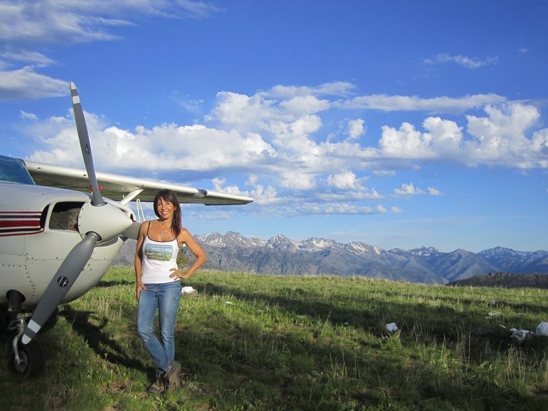
Memaloose was my destination, but I had to deviate due to weather and a low cloud layer that was virtually sitting on top of the airport. Two days later I returned to find one of the most beautiful and pristine high-altitude airstrips I’ve ever visited. The 270 degree view over the cliff was breathtaking. I parked at the south end of the runway near the cliff, which I don’t recommend. It’s not that it was dangerous, but the winds came up that evening (despite the weather forecast of NO wind or rain) and blew so hard that it made sleeping in the plane annoying since it was rocking back and forth non-stop.
You can watch the sunset on the canyon walls. Or, if you head across the runway to the east, you can see a beautiful sunset filtered through the forest and fallen trees.
Taking a walk down the runway, you’ll find a large group of buildings. It looks deceivingly as though there may actually be inhabitants, but with a closer look, you will find that they are boarded up with no power or water available from the plugs or hoses.
Interesting Fact: The area was once inhabited by the Chinook Indian tribes, Native Americans in the Pacific Northwest that spoke Chinookan languages. Some of the tribes had an odd custom of flattening their children's heads by binding them under pressure between boards from about 3 months to a year of age. This served as a means of marking social hierarchy that placed flat-headed community members above those with round heads. Such tribes were known colloquially by early white explorers in the region as "Flathead Indians."


